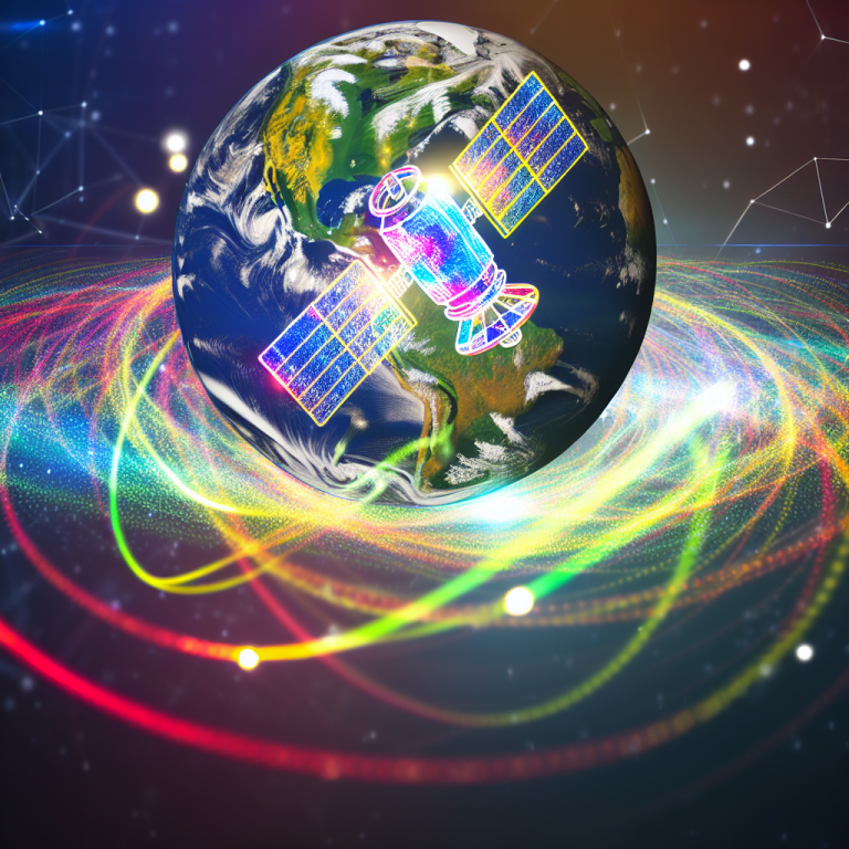
Tech giant Google is throwing its weight behind a groundbreaking satellite project aimed at mapping methane levels across the globe. The new satellite, set to launch in March, will orbit the Earth at a distance of 300 miles and pass over the planet 15 times a day. Methane gas, a potent greenhouse gas that contributes to global warming by trapping heat in the atmosphere, is a major concern for scientists.
While methane is produced through various sources, Google’s project will specifically target methane emissions from oil and gas plants. These facilities often release methane into the atmosphere through burning or venting during the extraction process. In collaboration with the Environmental Defense Fund, a global climate group, Google aims to use the data collected by the satellite to create a detailed methane map. This map will help identify methane leaks in oil and gas infrastructure around the world.
The data collected by the satellite will be processed using Google’s artificial intelligence tools to generate real-time information about methane levels. If a significant methane leak is detected, the responsible company will be notified. This initiative aligns with international efforts to control methane emissions, with the European Union proposing measures that include forcing oil and gas operators to repair leaks and banning the flaring of coal by member states by 2025.
Google’s methane map, which will be available on Earth Engine, will provide valuable insight into methane emissions worldwide. The project complements existing initiatives, such as the European Space Agency’s Tropomi satellite, which also monitors trace gases, including methane, in the atmosphere. Despite these efforts, methane levels continue to rise, with NASA reporting a doubling of methane levels in the past 200 years, 60% of which are attributed to human activity.
One of the major sources of methane emissions is livestock farming, particularly from cows. As cows digest their food, they release methane through burps and flatulence. The Environmental Protection Agency in the United States published a report in 2020 estimating that a single cow could produce up to 264 pounds of methane gas annually. With approximately 1.5 billion cows raised for meat worldwide, cattle farming is a significant contributor to methane emissions.
While satellites are effective in detecting large methane sources, detecting diffuse emissions from sources like agriculture remains a challenge. Peter Thorne, a professor of physical geography at Maynooth University in Ireland, notes that satellites are great for pinpointing major methane plumes but struggle to detect emissions from sources like agriculture.
Google’s methane-mapping project represents a critical step in addressing methane emissions and contributing to global efforts to combat climate change. By utilizing cutting-edge technology and collaboration with environmental organizations, Google is taking a proactive approach to monitor and reduce methane levels in the atmosphere.